Everyone knows of the obvious places where you have to worry about experiencing an earthquake. But sometimes, there are less obvious spots, too. So, what is our currently, calculated risk of an earthquake in North Carolina and South Carolina?
A new study looks at the locations with the highest potential of earthquakes. A lot of them are in major cities. A few include Los Angeles, San Francisco, Portland, Seattle, Salt Lake City and Memphis. That’s according to government research done by FEMA.
In case you were wondering, earthquakes are costly. That’s not to shame the states that have the most earthquakes, of course. Hurricanes are costly, too. So, whether you live in California, where earthquakes are likely, or in other areas across America where hurricanes happen, chances are, your area is taking up funding to cover these disasters. As it turns out, southern California coastal counties and the Bay Area are the most costly when it comes to earthquake damage. “Los Angeles County with $2.68 billion in annualized losses is more than three times greater than the second highest county (Santa Clara, California),” the FEMA report states. “The counties containing the Seattle, Portland, Salt Lake, and Memphis metropolitan areas also have relatively high AELs.”
North Carolina ranks No. 22 and No. 28, respectively, out of the states for the report’s “Ranking of States by Annualized Earthquake Loss and Annualized Earthquake Loss Ratios (AELR).” South Carolina ranks No. 8 and 12, respectively.
North Carolina, South Carolina earthquake danger
Find the interactive map via CNN below and see where your area lands. You might be surprised by some of the areas that actually have a fairly high risk for activity. The map was “derived in part from a US Geological Survey study that created earthquake models to help inform municipalities and insurance companies about such hazards,” according to CNN.
More on Loss Ratios across the US
While you might think of a handful of cities who are in danger of earthquakes, and those are on the West Coast, there is earthquake activity all around. “Although most economic loss is concentrated along the West Coast, the distribution of relative earthquake risk, as measured by the AELR, is much broader and reinforces the fact that earthquakes are a national problem,” FEMA says. “Relatively high earthquake loss ratios are throughout the western and central United States (states within the NMSZ) and in the Charleston, South Carolina, area.”

California – Interstate roadsign illustration with the map of California
The Big 55
You’ve heard of the Big Four, right? In metal music. Anyway, the Big 55 are the cities that experience the most earthquake activity. “Fifty-five metropolitan areas, led by the Los Angeles (including Los Angeles, Long Beach, and Anaheim) and San Francisco (including San Francisco, Oakland, and Berkeley) Bay areas, account for 85% of the total AEL,” FEMA says.
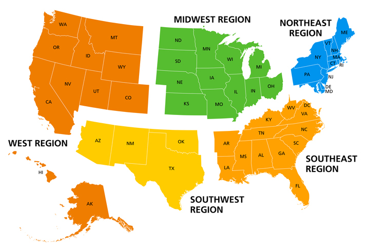
United States, geographic regions, colored political map. Five regions, according to their geographic position on the continent. Common but unofficial way of referring to regions of the United States.
Extra earthquake threat for Charleston, South Carolina
The FEMA report states, “Within the central and eastern United States, the New Madrid seismic zone (NMSZ) and the Charleston, South Carolina, area pose substantial earthquake threat.” As for safer areas, “The NMSZ covers parts of eight states: Illinois, Indiana, Missouri, Arkansas, Kentucky, Tennessee, Oklahoma, and Mississippi. Together, they amount to approximately 15% of the total national exposure.”

Physical map of Planet Earth, focused on USA, North America. Satellite view, sun shining on the horizon. 3D illustration (Blender software), elements of this image furnished by NASA (https://eoimages.gsfc.nasa.gov/images/imagerecords/147000/147190/eo_base_2020_clean_3600x1800.png)
